End-to-End Solutions
Geo-science and Remote Sensing, Image Processing
and Big Data Analytics.
We Provide Useful Services
We develop indispensable tools based on cutting edge technologies for decision-making

Serving our end-users and community
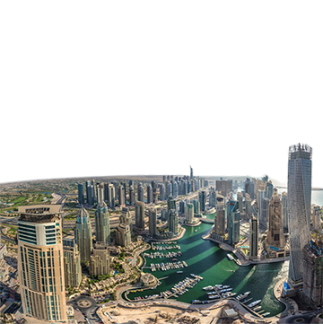
In addition to providing our customers with high resolution satellite images, MBRSC is finding solutions to the outstanding problems in Geoscience and Remote Sensing using the cutting edge technology in the fields of computer vision, image processing and geographical information systems. It is dedicated to conduct research to solve problems in diverse areas including multi-sensor data fusion, image analysis, super resolution, image enhancement, image segmentation and classification, features/object extraction, pattern recognition, etc. Our core business can be summarized as follows:
- Developing intelligent systems and applications that benefit the scientific community in the UAE.
- Providing innovative software solutions based on remote sensing technologies, image processing and geographical information system.
- Incorporating AI technologies into software development and digital data processing.
- Providing periodic specialized analytical studies, dealing with various environmental aspects.
Explore MBRSC Geo-Analytics Platform!
It is an interactive platform that provides a number of analytical studies periodically to governmental agencies. Any new study will be automatically added to this platform to enable beneficiaries and the scientific community in general to benefit from the scientific studies and researches conducted by MBRSC. It is launched in June 2020 to provide analytical studies in the three main themes:
- Monitoring infrastructure projects
- Studying environmental changes
- Monitoring damages caused by crises
News Updates
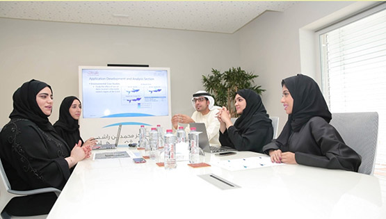
The Application Development and Analysis Section at the Mohammed Bin Rashid Space Centre (MBRSC) today announced the launch of a smart interactive platform that will provide scientific analysis of environmental phenomena and their impact on the UAE's natural resources.
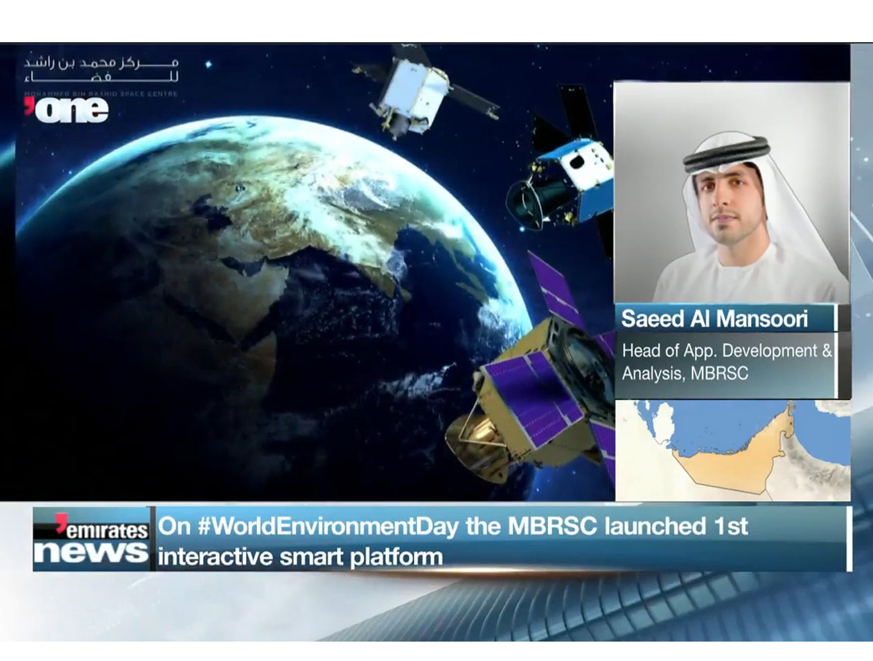
Mohammed Bin Rashid Space Centre (MBRSC) has announced the launch of a scientific interactive platform that will provide scientific analysis of environmental phenomena and their impact on the UAE’s natural resources.
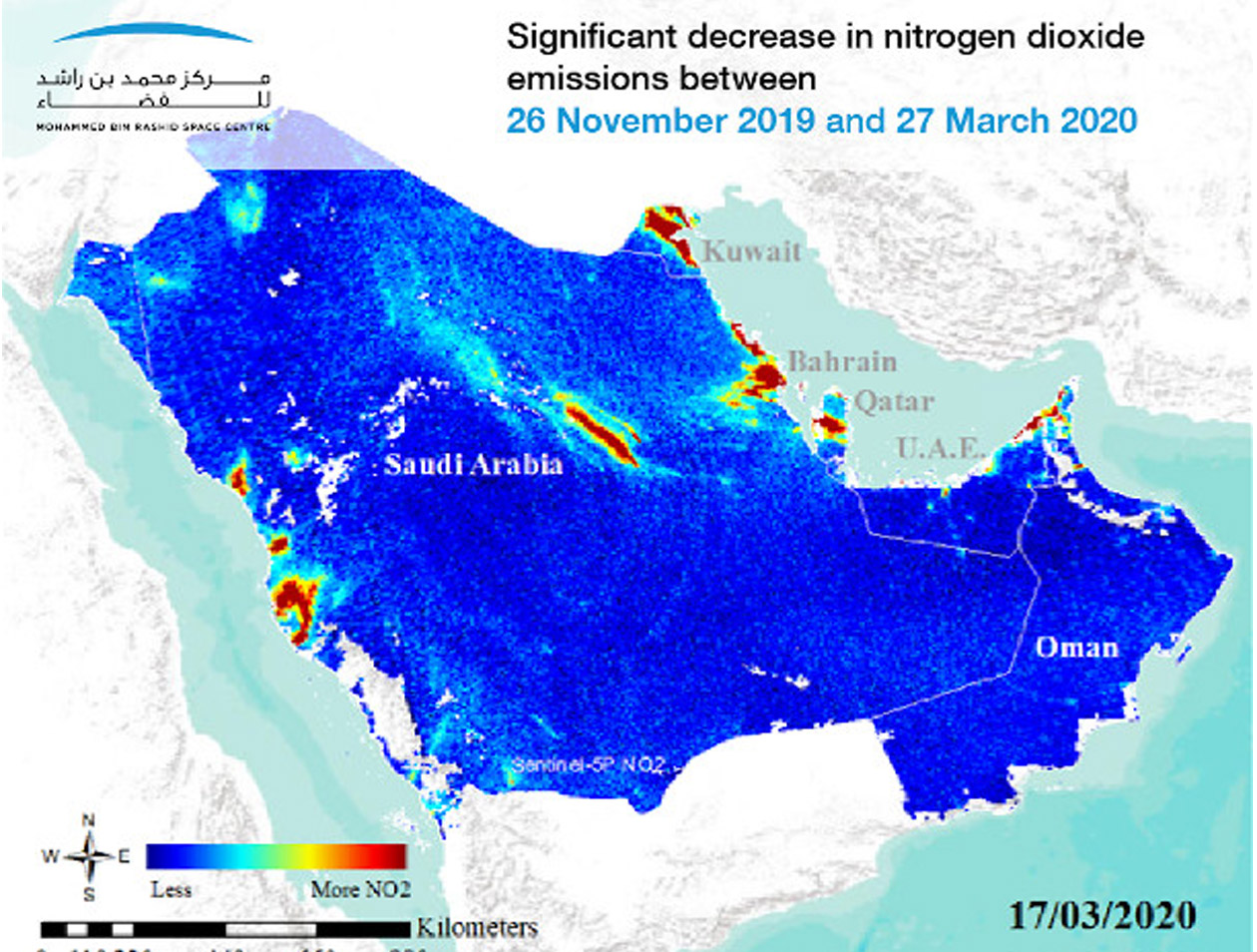
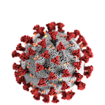
The coronavirus pandemic continues to have a profound effect on the world. The virus, which causes covid-19, is swiftly approaching 1 million confirmed cases worldwide.
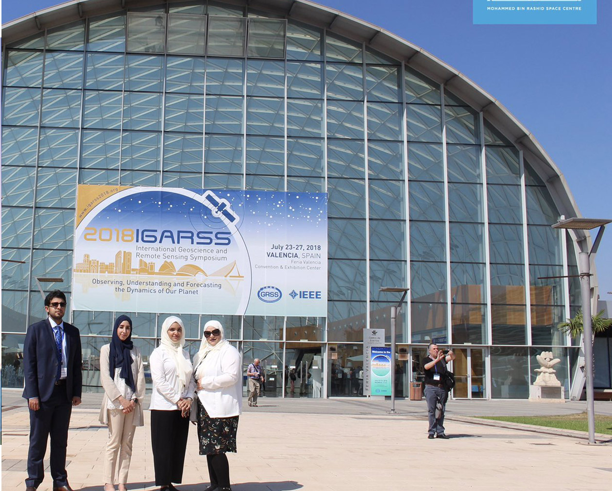
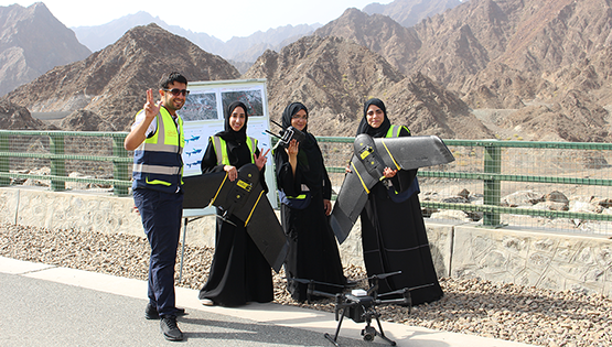
A delegation of engineers from the Mohammed bin Rashid Space Centre, MBRSC, participated in the International Geoscience and Remote Sensing Symposium, IGARSS, held at the Feria Valencia Convention and Exhibition Centre from 22nd to 27th July, 2018
OUR PARTNERS


TRACK OUR SATELLITES