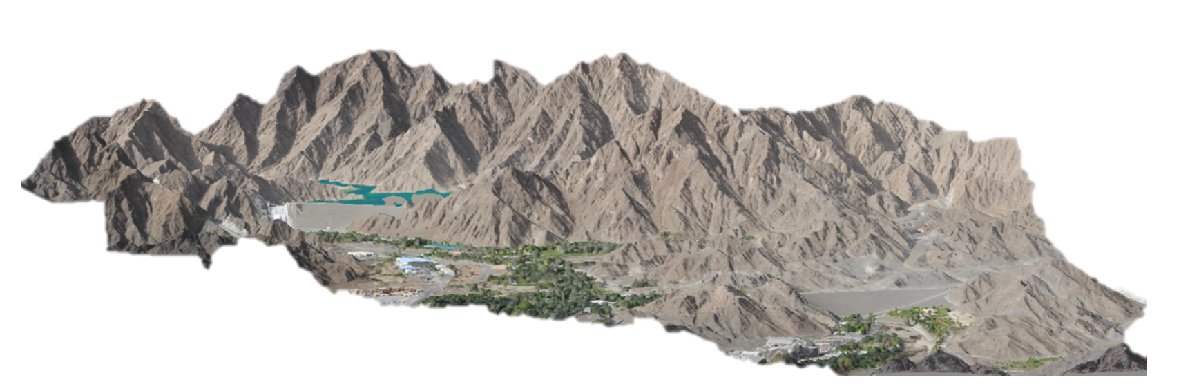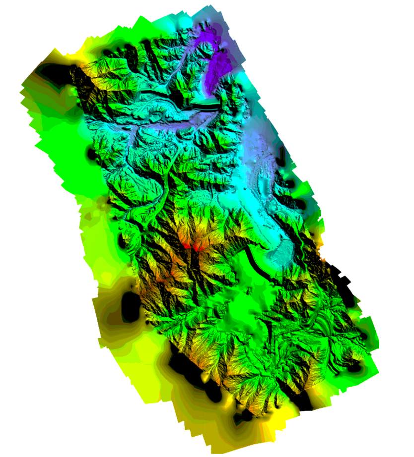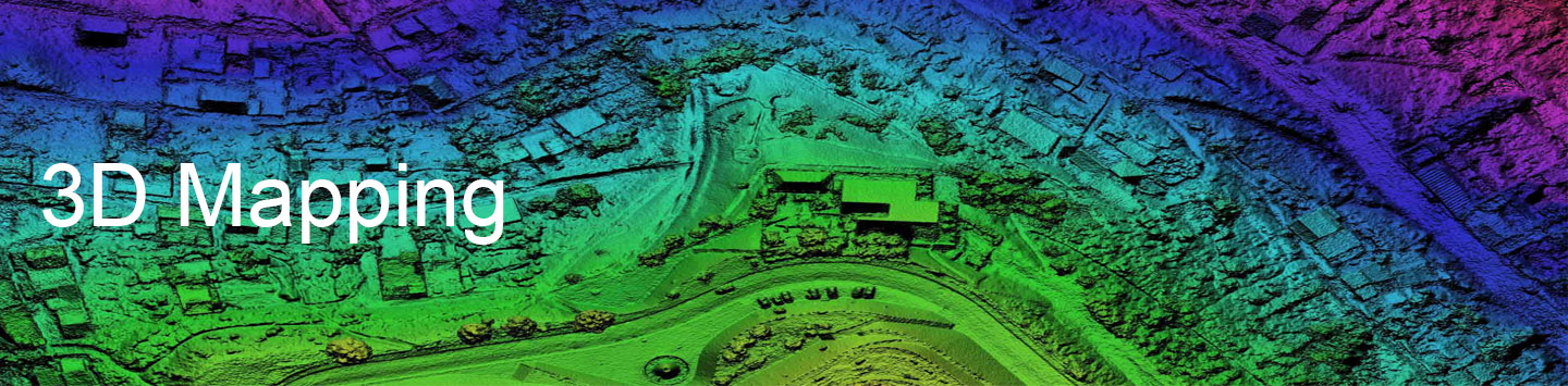
3D Mapping service
In this regard, three services can be provided: (a) Ortho-photo: An aerial photograph that has been geometrically corrected (Ortho-rectified) so that the scale of the photograph is uniform, meaning that the photo can be considered equivalent to the map, (b) Contour Map: A topographic map on which the shape of the land surface is shown by contour lines, the relative spacing of the lines indicate the relative slope of the surface, (c) 3D Map: Three dimensional mapping is the process of gathering location information so that the locations and possibly the attributes of the items (e.g. roads or towers) can be presented in a form that has 3 dimensions (such as latitude, longitude and height above sea level) that can interpreted by a user.