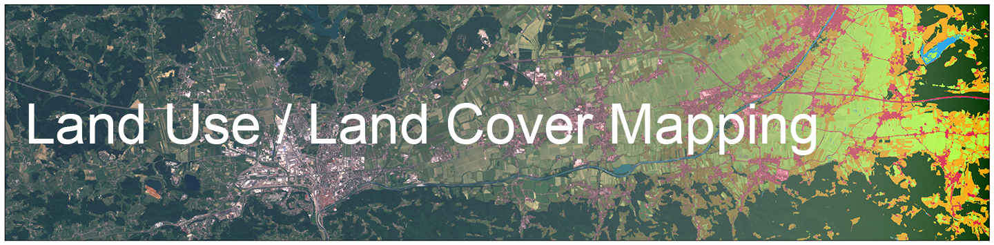
Overview about the service
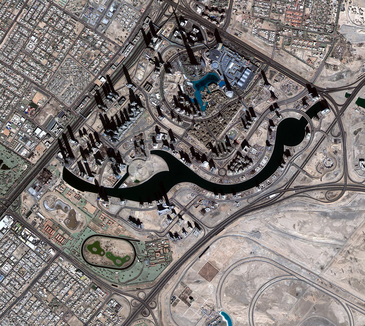
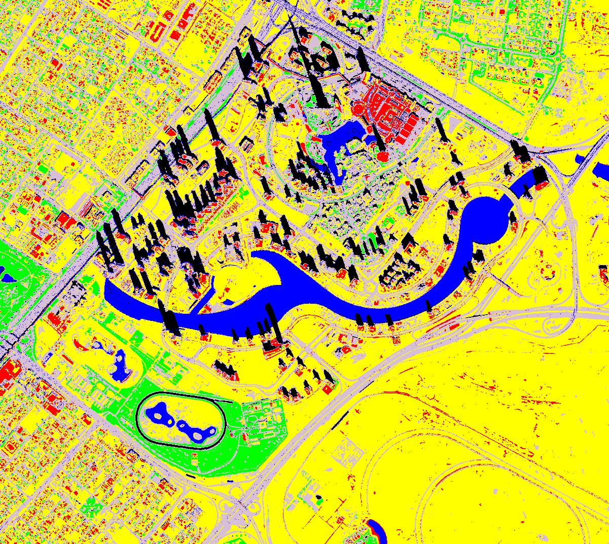
One of the main value added products that can be effectively generated from KhalifaSat is the land use/land cover mapping. This product categorizes various land features into classes, such as water bodies, vegetation, road networks, buildings and undeveloped areas. With four tightly focused spectral bands (Figure4), combined with 70 cm resolution, KhalifaSat will produce highly precise detailed features on the earth resulting in higher discrimination level and mapping accuracy.
This outcome is of great importance to the natural resources management, urban planning and monitoring programs as well as to the improvement of decision-making in both the public and private sectors. The end-results can be provided in many forms including an index mapped image as shown in Figure5, shape-files compatible with ArcGIS platform, and a numerical comprehensive analysis.