Projects Monitoring Service
Urban growth analysis is assuming critical importance in planning activities knowing that in 2015 more than half world’s population will be living in cities. Urban sprawl is a term that refers to spreading urban growth. This phenomenon affects the majority of worlds’ metropolitan areas and is associated to the replacement and fragmentation of natural habitats and agriculture lands by infrastructures, residential and commercial development.
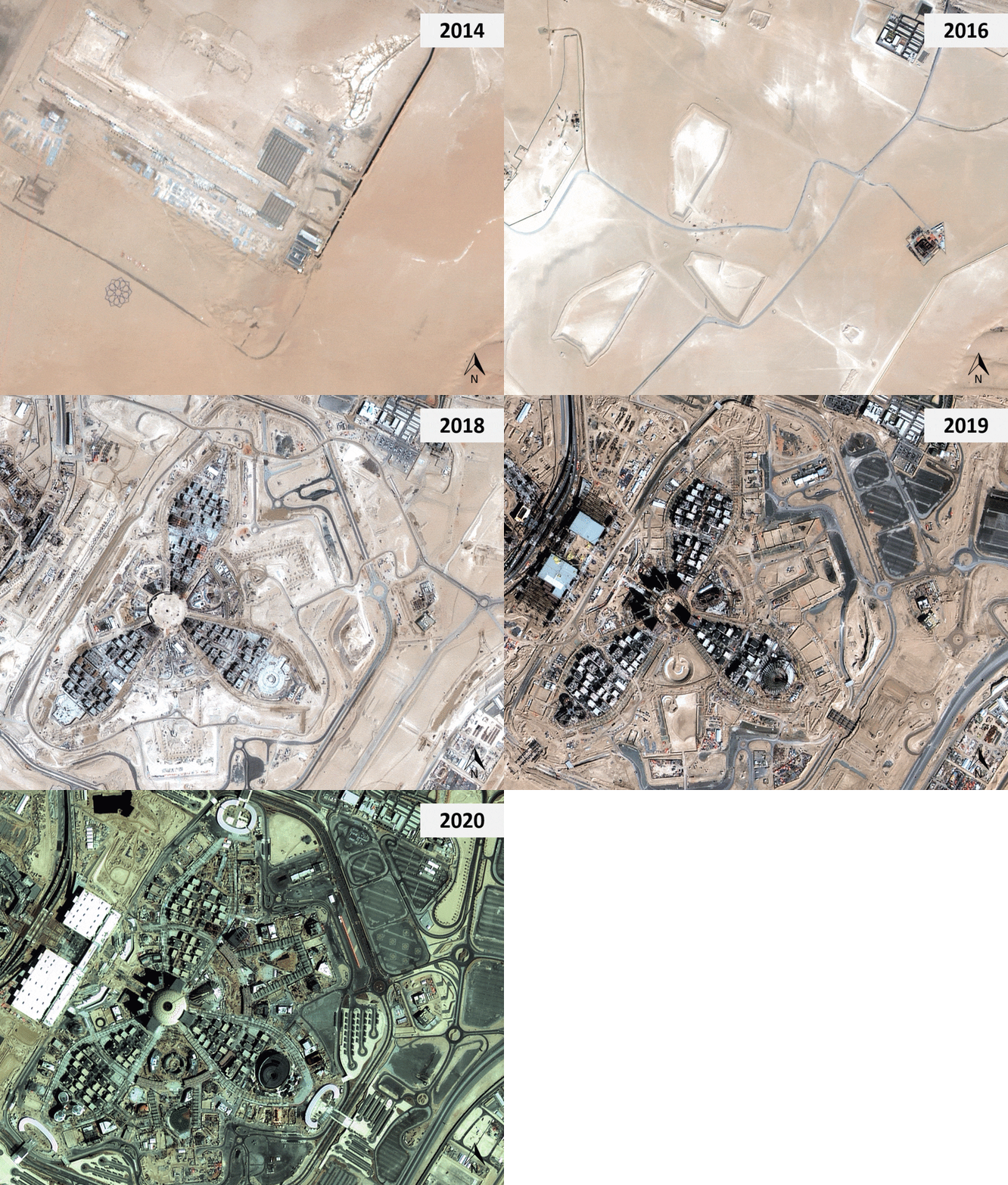
Due to the rapid architectural development and extensive changes on Earth’s surface, the use of remote sensing images is vital in change detection and project monitoring. Several organizations and projects developers need to detect, monitor, and analyze Earth’s surface features accurately on a regular basis for better decision making and analysis. These changes include monitoring land areas, project development, natural resources, and the environment.
